Asia and Japan as Seen from Old European Maps
After the curtain rose on the Age of Discovery in the 15th century, the shape of the world gradually became clearer and the ancient maps of the world that had been drawn up on the basis of a combination of fact and fantasy began to be revised. In the latter half of the 16th century, Abraham Ortelius compiled the results of the Age of Discovery into an atlas, which included Japan and the rest of Asia. Over the course of about a century, from the Tokugawa shogunate’s introduction of the policy of national isolation in the mid-17th century, European maps were brought to Japan, at a time when dealings with foreign powers such as Portugal, Spain, and the Netherlands were at their height.
Comparing these maps with each other, we can gain a sense of various things, including how Westerners perceived Japan and the rest of Asia and how Japanese place names were pronounced at the time. This display introduces a selection of old European maps from the Naganuma Collection, the Kuwaki Collection, and a number of other collections.
-
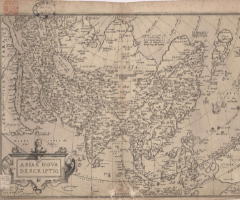
Asiae nova descriptio
About 1567 -
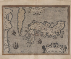
Iaponiae insulae descriptio
1595 -
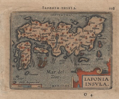
Iaponia Insvla
1598 -
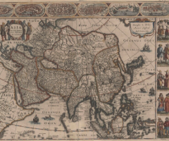
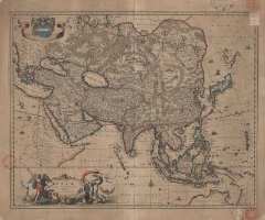
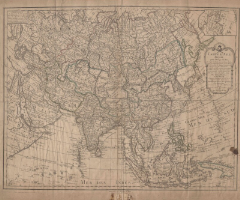
Asia recens summa cura delineata
1632 -
Asiæ nova delineatio
-

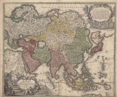
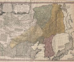
Magnæ Tartariæ, magni Mogolis Imperii, Iaponiæ et Chinæ, nova descriptio
1660 -
L'Asie divisée en ses principales regions et ou se peuvent...
Late 17th century -
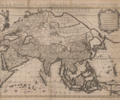
Asiae recentissima delineatio, qua status et imperia totius orientis unacum orientalibus indiis exhibentur
Early 18th century -
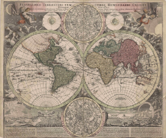
Planiglobii terrestris cum utroq hemisphærio cælesti generalis exhibitio
Early 18th century -
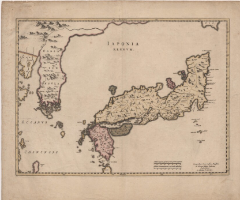
Iaponia Regnvm
-
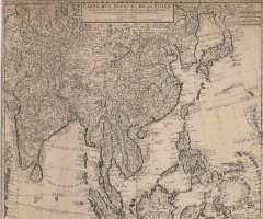
Carte des Indes et de la Chine
Early 18th century -
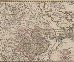
Nouvelle carte de l'empire de la chine, et les Païs circonvoisin
Mid 18th century -
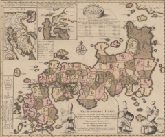
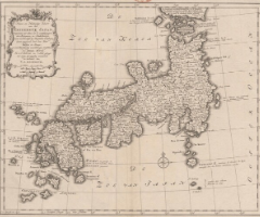
Het Koninkryk Japan
1729 -
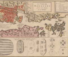
La ville de Nagasaki, avec le port et les environs
-
Nieuwe en naukeurige kaart van het keizerryk Japan,...
Late 18th century -
Tatariae Sinensis mappa geographica
1749 -
Carte d'Asie dressée pour l'Ufage du Roi
1788 -
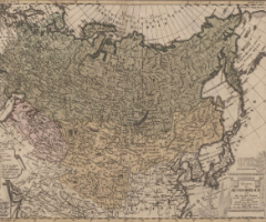
Charte das Russische Reich und die von den Tatarn bewohnte Länder in Europa und Asia enthaltend
1786 -
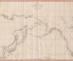
Carte des côtes de l'Amérique et de l'Asie
1798 -
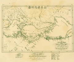
Nippon henkai ryakuzu
1832